 Photo: NPS Photo
Loading map…
About Spud Rock Spring
- 3 campsites (6 people max per site) *This campground is hike in only! Spud Rock is the most isolated of our six campgrounds, sitting on the east side of the range at 7200 feet. Access is generally from the east, but Turkey Creek trailhead is very difficult to drive and requires a lifted truck or a jeep. At the very least, you will need a vehicle with four-wheel drive. Also, make sure to check the conditions of the road before heading out as it can become muddy and treacherous after some rain.
Photos
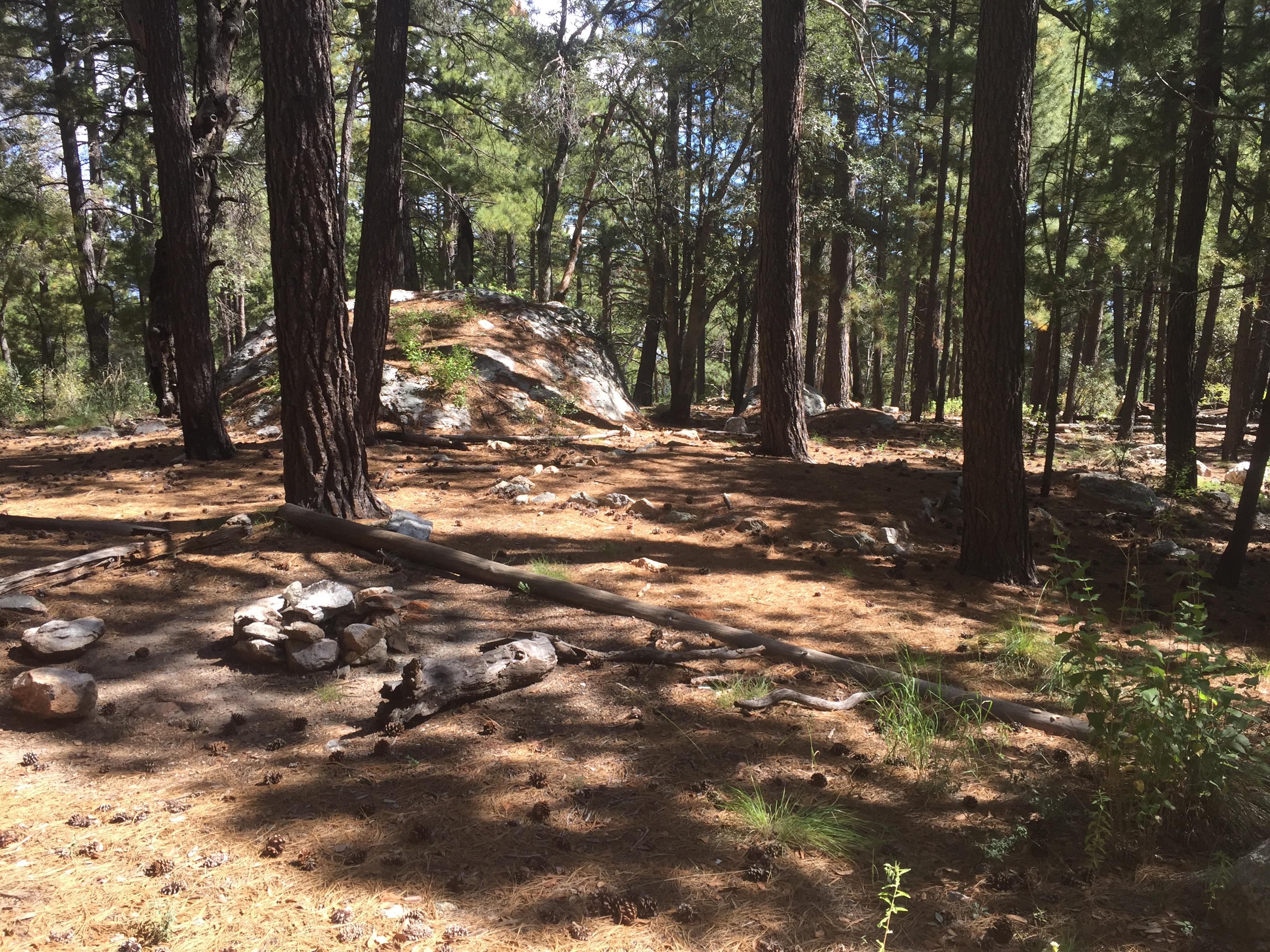
Campsites
Site-by-site details (sizes, hookups, shade) for this campground are coming soon.
Conditions at camp
🌤️ Forecast
Wed, Nov 11
Tonight
40°FMostly Clear
Thu, Nov 12
Day
58°FSunny
Thu, Nov 12
Night
42°FMostly Clear
Fri, Nov 13
Day
52°FChance Rain Showers
Fri, Nov 13
Night
39°FSlight Chance Rain Showers then Mostly Cloudy
Sat, Nov 14
Day
46°FChance Rain Showers
Sat, Nov 14
Night
38°FRain Showers Likely
Sun, Nov 15
Day
47°FSlight Chance Rain Showers then Mostly Sunny
Source: National Weather Service (weather.gov)
🔥 Wildfires nearby
No active fire perimeters nearby. ✅
Source: National Interagency Fire Center (WFIGS)
Trails near camp
- 🥾 Spud Rock Camp Trail 0.2 mi
- 🥾 Deerhead Spring Trail 1.1 mi
- 🥾 East Slope Trail 0.7 mi
- 🥾 Switchback Trail 0.4 mi
- 🥾 Heartbreak Ridge Trail 5.7 mi
- 🥾 Mica Meadow Trail 0.5 mi
- 🥾 Mica Mountain Trail 1.2 mi
- 🥾 Bonita Trail 0.7 mi
- 🥾 Devil's Bathtub Trail 1.2 mi
- 🥾 Fire Loop Trail 4.2 mi
- 🥾 Spud Rock Trail 0.4 mi
- 🥾 Cowhead Saddle Trail 3.9 mi
Campground information from the National Park Service. Confirm current status with the park before you go.