 Photo: NPS Photo
Loading map…
About Juniper Basin
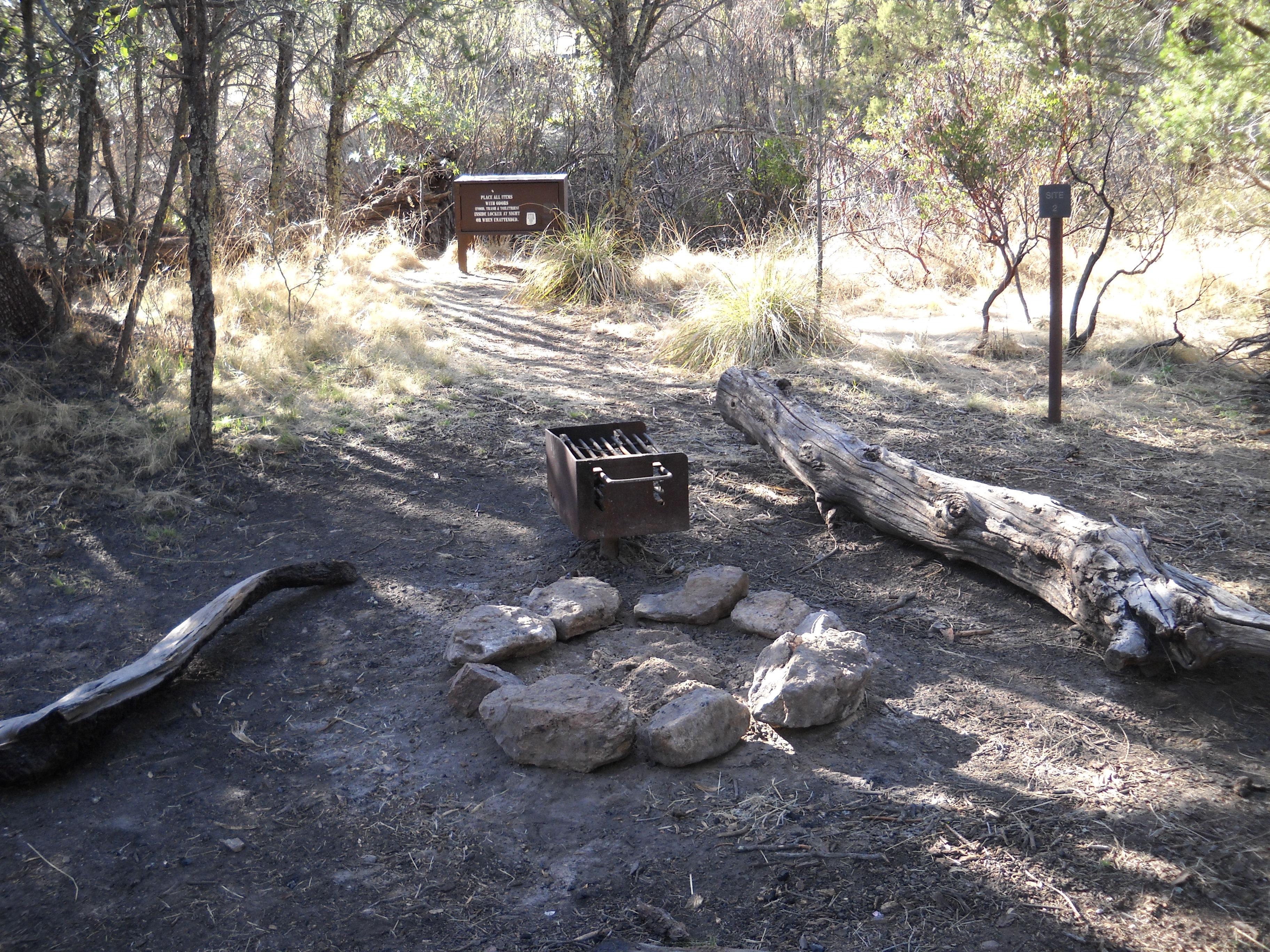
- 6,000 elevation - 3 campsites (6 people max per site) *This campground is hike in only! This campground is a tough day hike up the Tanque Verde Ridge over 6.9 miles and 3000 feet of elevation gain. Exceptional views can be seen throughout the hike, and habitats change quickly from desert scrub to oak savanna and pine / juniper woodlands. Water here is very seasonal, and it is often dry during the summer, spring and fall. When there is water, sources can be found west of site 1.
Photos
Campsites
Site-by-site details (sizes, hookups, shade) for this campground are coming soon.
Conditions at camp
🌤️ Forecast
Wed, Nov 11
Tonight
49°FClear
Thu, Nov 12
Day
62°FSunny
Thu, Nov 12
Night
50°FMostly Clear
Fri, Nov 13
Day
57°FChance Rain Showers
Fri, Nov 13
Night
46°FSlight Chance Rain Showers then Mostly Cloudy
Sat, Nov 14
Day
52°FPartly Sunny then Chance Rain Showers
Sat, Nov 14
Night
45°FRain Showers Likely
Sun, Nov 15
Day
52°FSlight Chance Rain Showers then Mostly Sunny
Source: National Weather Service (weather.gov)
🔥 Wildfires nearby
No active fire perimeters nearby. ✅
Source: National Interagency Fire Center (WFIGS)
Trails near camp
- 🥾 Tanque Verde Ridge Trail 10.8 mi
- 🥾 Manning Camp Trail 9.1 mi
- 🥾 Quilter Trail 4.7 mi
- 🥾 Three Tank Trail 2.1 mi
- 🥾 Bridal Wreath Falls Trail 0.3 mi
- 🥾 Douglas Spring Trail 10.1 mi
- 🥾 Ernie's Falls Trail 0.5 mi
- 🥾 Ridge View Trail 1.1 mi
- 🥾 Carrillo Trail 3.2 mi
- 🥾 Hope Camp Trail 3.5 mi
- 🥾 Wildhorse Trail 2.1 mi
- 🥾 Garwood Trail 1.5 mi
Campground information from the National Park Service. Confirm current status with the park before you go.