 Photo: NPS Photo
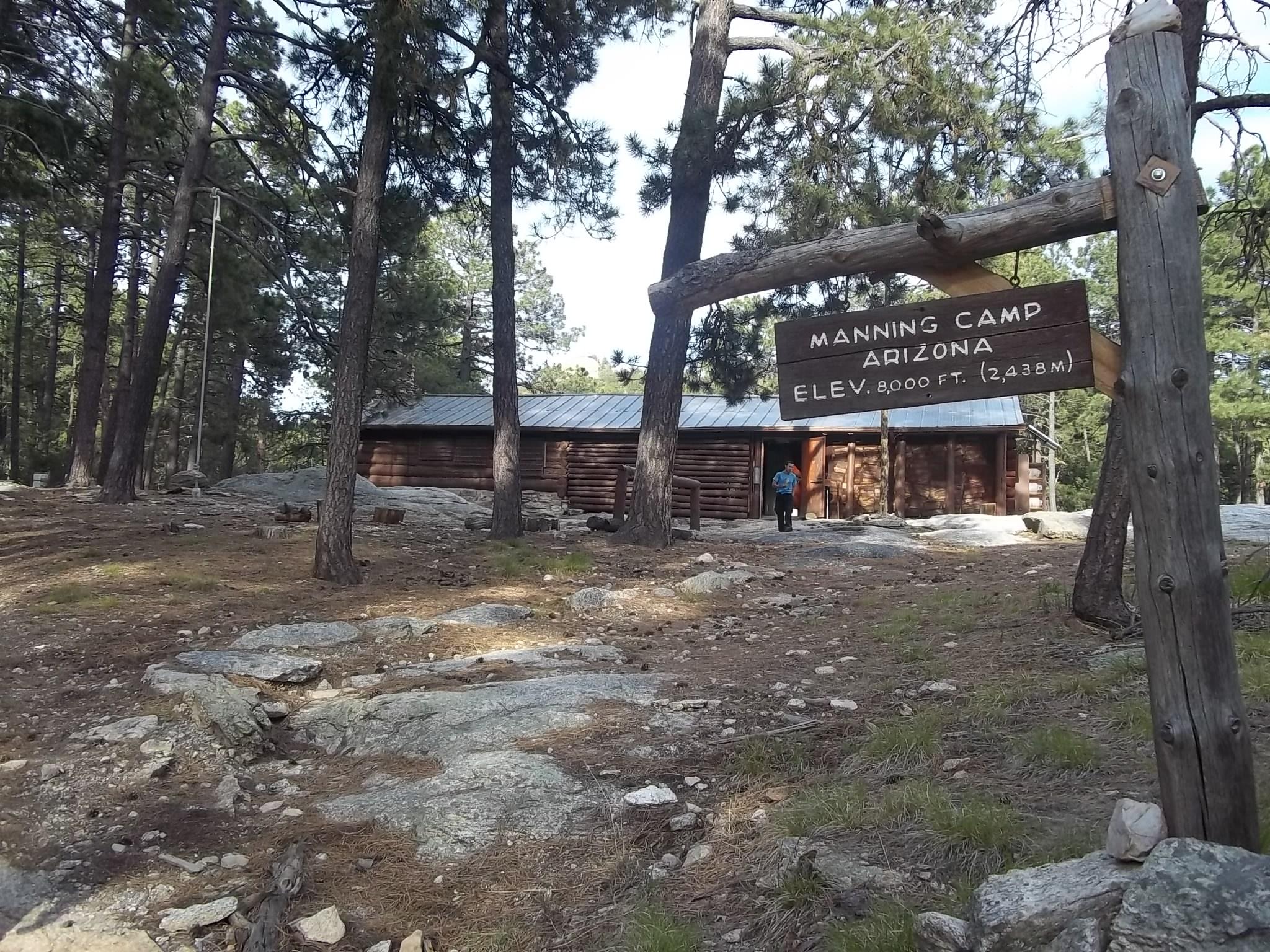
About Manning Camp
- 8,000 feet elevation - 6 campsites (max 6 people per site) - water available year-round *This campground is hike in only! Depending on where you start, the hike up to Manning can be anywhere from 9-18 miles and accumulates 5500-6500 feet of elevation. As you hike up, you will pass through multiple different biomes with spectacular changes in flora and fauna composition, passing through riparian zones and dry cliff alike (not to mention the extraordinary views).
Photos
Campsites
Site-by-site details (sizes, hookups, shade) for this campground are coming soon.
Conditions at camp
🌤️ Forecast
🔥 Wildfires nearby
No active fire perimeters nearby. ✅
🗓️ Typical weather
Weather at Manning Camp is typically 20 degrees F lower than the temperature at the Visitor Center
Trails near camp
- 🥾 Fire Loop Trail 4.2 mi
- 🥾 Cowhead Saddle Trail 3.9 mi
- 🥾 Mica Mountain Trail 1.2 mi
- 🥾 Mica Meadow Trail 0.5 mi
- 🥾 Devil's Bathtub Trail 1.2 mi
- 🥾 Spud Rock Trail 0.4 mi
- 🥾 Heartbreak Ridge Trail 5.7 mi
- 🥾 Bonita Trail 0.7 mi
- 🥾 East Slope Trail 0.7 mi
- 🥾 Switchback Trail 0.4 mi
- 🥾 Deerhead Spring Trail 1.1 mi
- 🥾 Spud Rock Camp Trail 0.2 mi
Campground information from the National Park Service. Confirm current status with the park before you go.